Interactive map supports War Horse investigation into the Trump administration’s policies along the southern border
On March 26, 2026 The War Horse and The Border Chronicle – two U.S. news publications – published a year-long investigation into how the Trump administration’s policies have changed the situation along the U.S.-Mexico border.
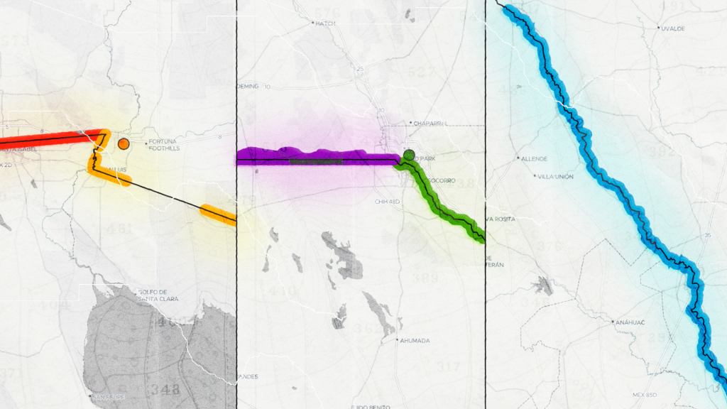
Airwars partnered with the two organisations to help visualise the patterns they were documenting. In particular, Airwars developed a map showing how the Trump administration has designated more than 800 miles of previously public land along the border as ‘National Defense Areas.’
The map above shows how the border has been redesignated as closed military zones, ranging from as little as 60 metres in width to more than three miles. Use the slider to see how the designations have taken place over the past year.