Incident Code
Incident Code
Incident Date
Location
Geolocation
Geolocation
Airwars Assessment
(Previous Incident Code: LC148)
In the morning of June 6th, the field hospital of the Field Medicine and Support Center was reportedly hit by an airstrike believed to have been carried out by the LNA, destroying parts of the hospital building.
According to the Citizen, several doctors and nurses were injured. The Libya Herald reported that a total of two paramedics and a field doctor were injured.
Amnesty International later published an on-the-ground investigation: “At a third location, in the al-Swani area south of Tripoli, three medics were injured in a 6 June 2019 air strike; fragments recovered at the scene by Amnesty International confirmed that the weapon was a French SAMP 250kg bomb. However, military vehicles with mounted heavy machine guns were observed in satellite imagery near the site prior to the strike. At least two strikes on ambulances examined by Amnesty International, one in the Wadi al-Rabea area and one east of the Airport Highway, are likewise ambiguous, in that fighters in military vehicles were being chased by LNA forces and were very close to the ambulances when these were struck.”
Local sources reported the incident to have occurred in Janzur. Al-Swani and Janzur neighbour each other.
Key Information
Geolocation Notes
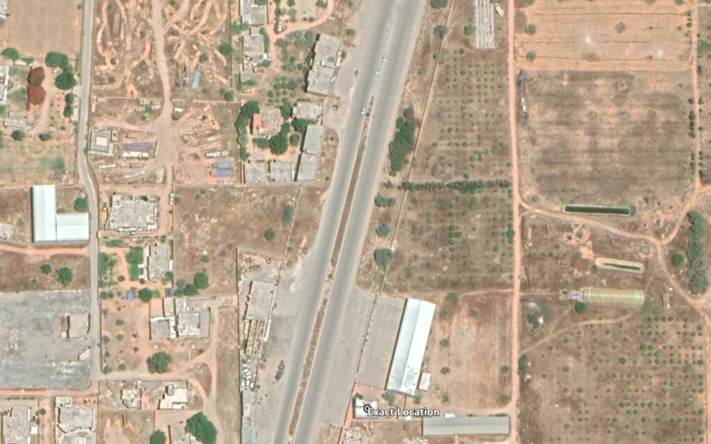
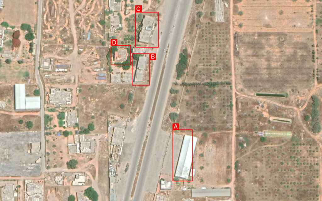
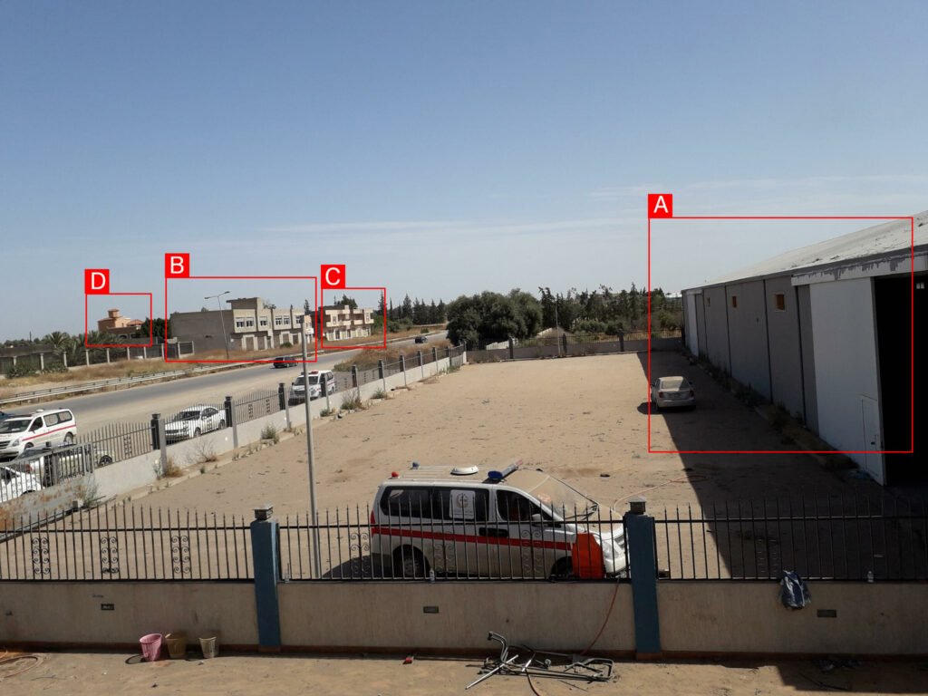
Reports of the incident mention a Field Medicine and Support Centre being struck within the neighbourhood of Al Keramia (الكريمية). Analyzing audio-visual material from sources, we have narrowed the location down to these exact coordinates: 32.722772, 13.079103.

Reports of the incident mention a Field Medicine and Support Centre being struck within the neighbourhood of Al Keramia (الكريمية).

Distribution of tags on satellite imagery.

Tagged visual material from sources.
