Incident Code
Incident Code
Incident Date
Location
Geolocation
Geolocation
Airwars Assessment
(Previous Incident Code: LN036)
On the September 15th 2011, the NATO bombed a house in Al Zafaran neighbourhood in Sirte which resulted in the death of a family consisting of four people.
This information was according to a post by Nour Al Din Nasser Al Zanki on Facebook who named the victims.
NATO on that reported striking “In the vicinity of Sirte: 1 Military Storage Facility, 2 Armed Vehicles, 1 Tank, 4 Multiple Rocket Launchers, 8 Air Missile Systems” near Sirte.
Key Information
Geolocation Notes
Reports of the incident mention the Al Za’fran neighbourhood (الزعفران), for which the generic coordinates are: 31.206893, 16.550209. Due to limited satellite imagery and information available to Airwars, we were unable to verify the location further.
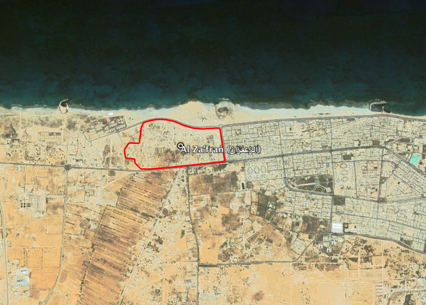
Reports of the incident mention the Al Za’fran neighbourhood (الزعفران).
Imagery: Google Earth