Incident Code
Incident Code
Incident Date
Location
Geolocation
Geolocation
Airwars Assessment
(Previous Incident Code: LM031)
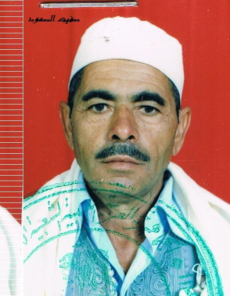
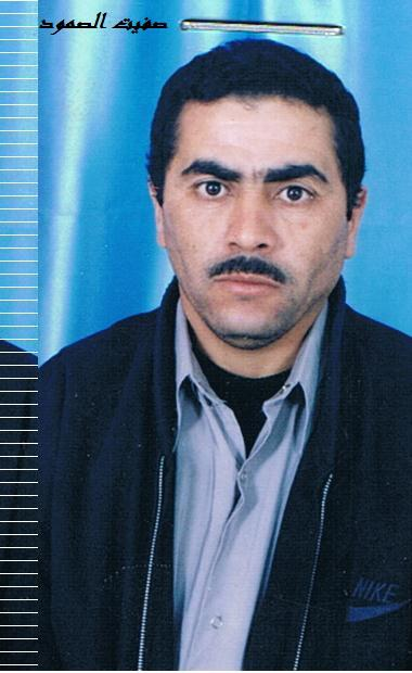
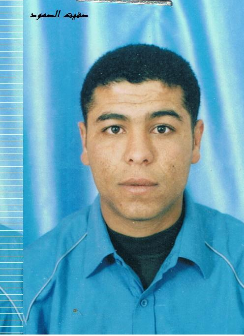
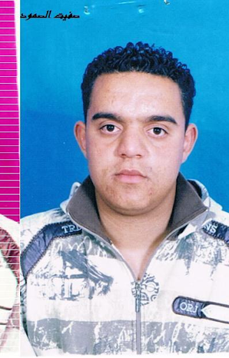
Between 28 and 49 people, including 28 men, were killed by Gaddafi forces in Al Mleeb in the vicinity of Al Qalaa village on August 5, 2011 according to various sources, including a video on ImazighenLibya’s YouTube and a post on Safit Al Somoud’s Facebook.
A graphic video posted by ImazighenLibya shows rows of dead bodies, more than 15, many of them with their hands tied behind their backs. Graphic images posted by Safit al Somood show some of the victims covered in mud. Other videos and images posted by various other sources show hundreds of people attending the funeral for the victims.
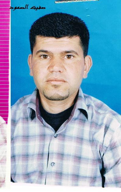
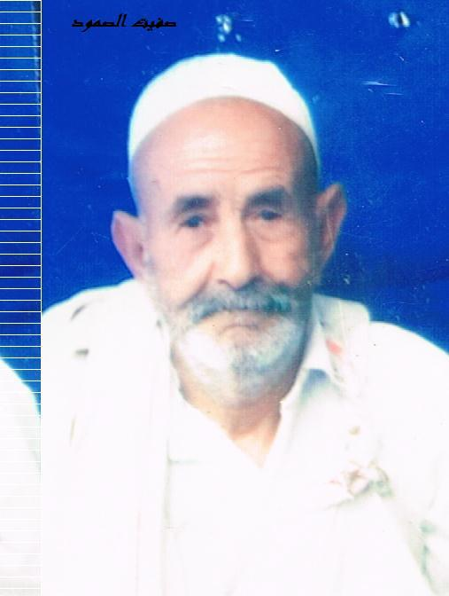
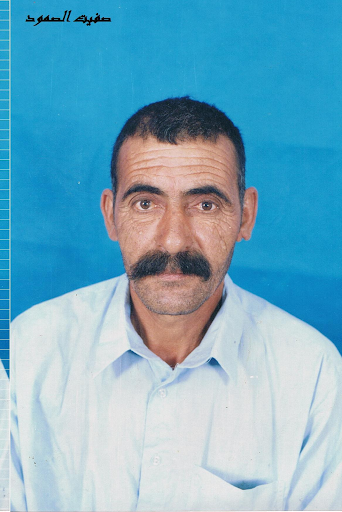
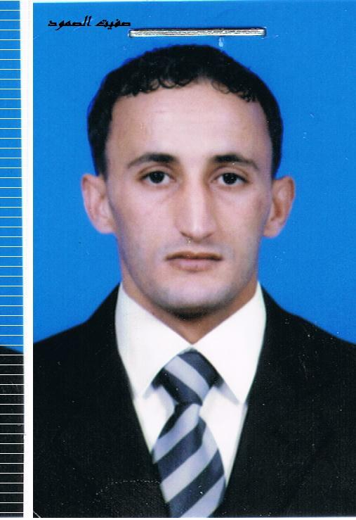
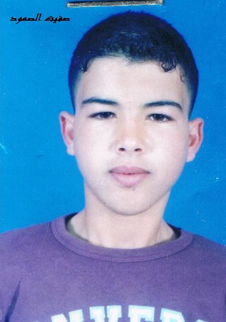
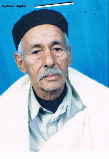
Names of victims killed:
M’hamed Ahmed Ghida
Muhammad Ghida, son of M’hamed Ahmed Ghida
Fouad Ghida, nephew of M’hamed Ahmed Ghida
Ashraf Abu Kassem Saleh Al-Ezabi
Abu Kassem Al-Ezabi,, father of Ashraf Abu Kassem Saleh Al-Ezabi
al-Hashemi Muhammad al-Shator
Muhammad Al-Shator, father of al-Hashemi Muhammad al-Shator
Mhammed Muhammad Al-Shator, younger brother of al-Hashemi Muhammad al-Shator
Saleh Ali Omar
Salem Suleiman Ali Khalifa
Rabie Saeed Omar Al-Ezabi
M’hamed Ajal
Yusef Ajal, son of M’hamed Ajal
Mhamed Suleiman Al-Baden
Ali Mhamed Suleiman Al-Baden, son of Mhamed Suleiman Al-Baden
Salem Younis Kreir
Saeed Ali Othman
Uribi Othman, brother of Saeed Ali Othman
Suleiman Abdul Salam Ajal
Abd al-Salam Ajal, father of Suleiman Abdul Salam Ajal
Abdullah Ammhamad (Al-Dardouri)
Muhammad Mhammed Al-Harari
Mahmo al-Harari, brother of Muhammad Mhammed Al-Harari
Uncle of Muhammad Mhammed Al-Harari
Uncle of Muhammad Mhammed Al-Harari
Abdul Hamid Qarad Al-Taher
Talal Al-Hadi Omar Oreibi
Omar Qirqab Ahmed Al-Baden
Victims
Family members (3)
Family members (2)
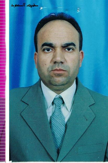
Family members (3)
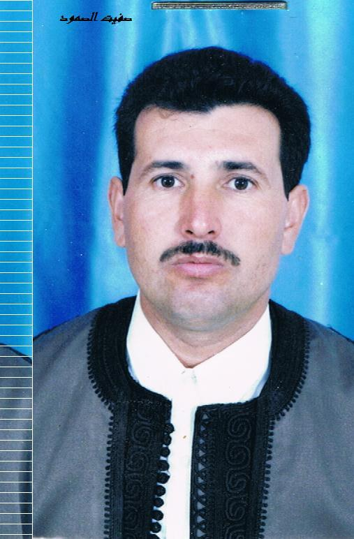
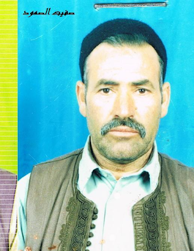
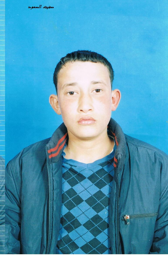
Family members (2)
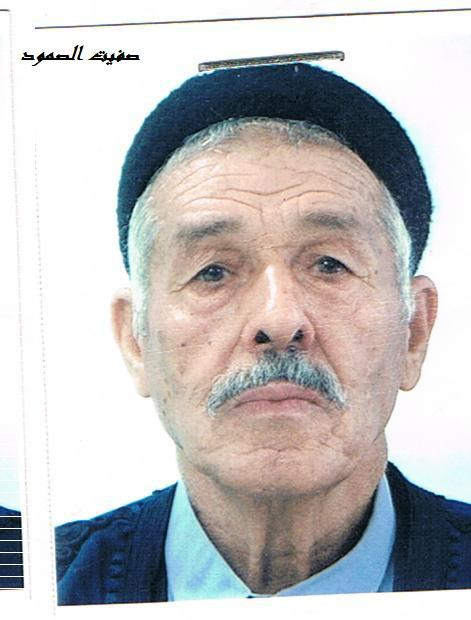
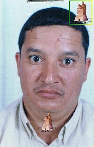
Family members (2)
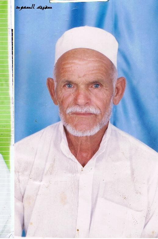
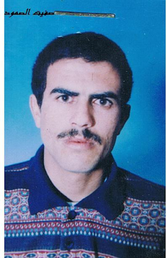
Family members (2)

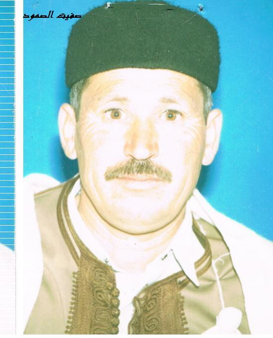
Family members (2)
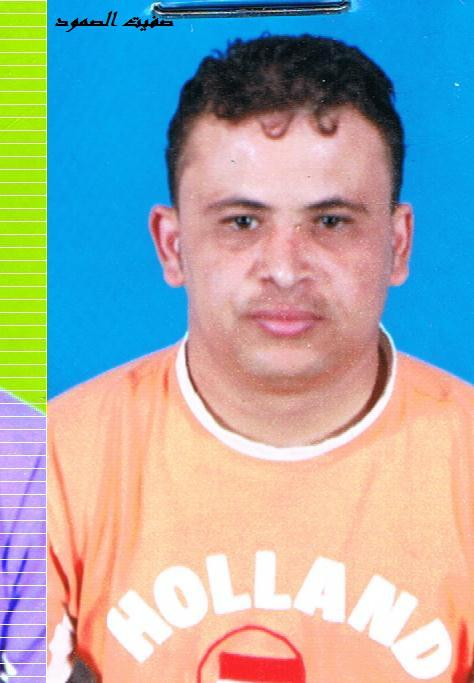

Family members (4)

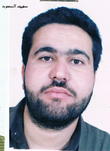
Individuals
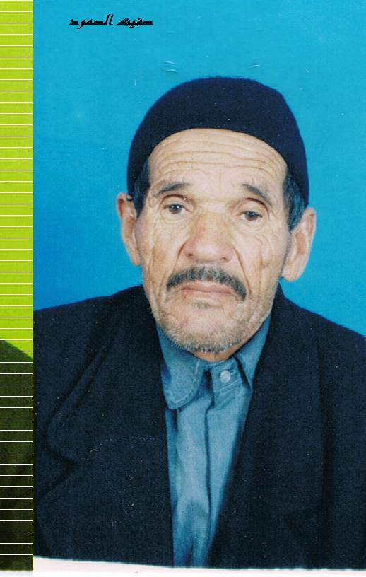

Key Information
Geolocation Notes
Reports of the incident mention the Al Mleeb (المليعب) area, in the vicinity of Al Qalaa (القلعة) village, for which the generic coordinates are: 32.027635, 12.593237. Due to limited satellite imagery and information available to Airwars, we were unable to verify the location further.
