Incident Code
Incident Code
Incident Date
Location
Geolocation
Geolocation
Airwars Assessment
One civilian was allegedly injured by LNA shelling on the Al Sour road area of Tripoli.
Libya Alahrar TV wrote: “The media advisor to the Ministry of Health, Al-Amin Al-Hashemi, confirms that the Central Hospital of Tripoli received, today treated a 68-year-old civilian, who was injured as a result of a shell fired by Haftar militia in the Al-Sour road area.”
There is currently no further information available.
Geolocation Notes
Reports of the incident mention the vicinity of Al Sour road (طريق السور), for which the generic coordinates are: 32.881313, 13.219781. Due to limited satellite imagery and information available to Airwars, we were unable to verify the location further.
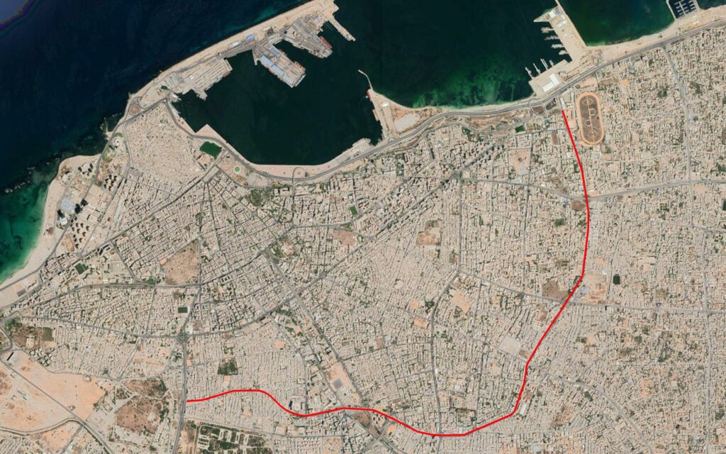
Reports of the incident mention Al Sour road (طريق السور).
Imagery: Google Earth