Incident Code
Incident Date
Location
Geolocation
Geolocation
Airwars Assessment
(Previous Incident Code: ISPT100)
One civilian was injured in an alleged Israeli airstrike on an area west of Rafah, southern Gaza on May 18th 2021, according to local reports.
Palestine Today said: “Occupation warplanes target a group of citizens in the Al-Qadi area”, an informal name given to the area.
One civilian was moderately injured by a missile fired by an Israeli reconnaissance aircraft, reported Shaab Radio. Other sources also attributed the missile to Israel.
The Palestinian Centre for Human Rights reported that an Israeli warplane struck al-Emam Ali Street in central Rafah at 23:20 and that the injured civilian was a “passer-by”.
Key Information
Geolocation Notes
Reports of the incident mention Imam Ali Street (شارع الامام علي), in Rafah (رفح), for which the generic coordinates are: 31.305097, 34.259602. Due to limited satellite imagery and information available to Airwars, we were unable to verify the location further.
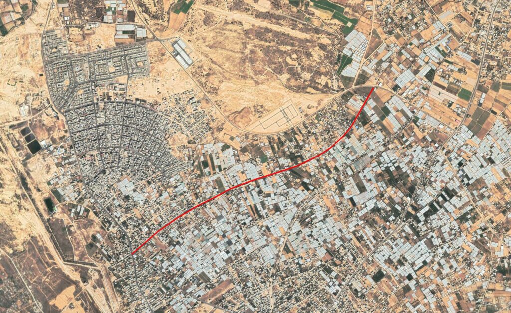
Reports of the incident mention Imam Ali Street (شارع الامام علي), in Rafah (رفح).
Imagery: Google Earth