Incident Code
Incident Date
Location
Geolocation
Geolocation
Airwars Assessment
(Previous Incident Code: I008)
According to news agency NINA, a “US air strike on the village of Aouinat northwest of Mosul killed five civilians, according to a source in forensic medicine in Mosul.” The Al Rafidain website (in a report dated ten days after the event) placed the death toll higher at between 10 and 20, saying two houses had been destroyed by the coalition.
The quarterly UN Report for Iraq also noted that “Air strikes carried out on 17 October north of Mosul allegedly killed at least 26 civilians.” These were only generally attributed to Iraqi security forces and their allies – which might include “US-led coalition airstrikes.” However, the Guardian later reported that following an agreement with the international coalition, Iraqi aircraft were not carrying out airstrikes north of Mosul.
Key Information
Geolocation Notes
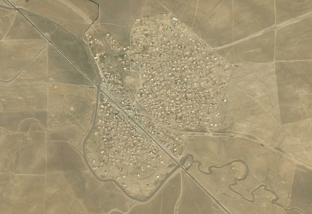
Reports of the incident mention Aouinat / Tal Awinat (تل عوينات) village, north west of Mosul. The coordinates of the village: 36.68037, 42.39686

Aouinat ( تل عوينات )
Imagery: © 2018 Google
