Incident Code
Incident Date
Location
Geolocation
Geolocation
Airwars Assessment
(Previous Incident Code: I045a)
According to local reports, coalition airstrikes killed nine civilian non-combatants and injured three more in Al Sharika Street, Aljughaifi neighborhood. The dead were named by the Iraqi Revolution website as “belonging to the family of Khamis Sufook al-Jumaili, killing him and his wife and her sister, their sons and daughters, as well as his brother the householder.”
The Iraqi Spring project named the dead.
Victims
Family members (9)
Key Information
Geolocation Notes
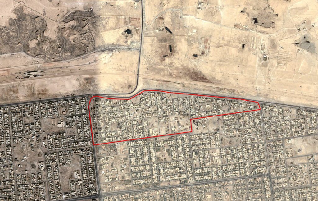
Reports of the incident mention Al Sharika road in the Al Jughaifi neighbourhood (حي الجغيفي) in the city of Fallujah, Anbar Province, Iraq. The coordinates for the midpoint of Al Jughaifi neighbourhood (حي الجغيفي) are: 33.366667, 43.792778.

Al Jughaifi neighbourhood (حي الجغيفي) in the city of Fallujah
Imagery: © 2018 Google
