Incident Code
Incident Date
Location
Geolocation
Geolocation
Airwars Assessment
(Previous Incident Code: I001)
According to the German news agency DPA, the first known civilian victims of US bombing in the campaign occurred on August 16th, eight days into the air war. According to DPA, witnesses informed the agency’s reporter that “11 civilian were killed by a US airstrike when they chased [ISIL] fighters in Sinjar but its rockets missed them, targeting civilian houses and killing 11 persons west of Mosul.”
Al Jazeera also reported that 11 non-combatants had died, adding that additional civilians may also have been killed on US strikes after August 8th: “Medical sources from the city’s hospital in Mosul said that the bodies of more than two dozen people from IS killed by US raids on northern Iraq were received.”
Key Information
Geolocation Notes
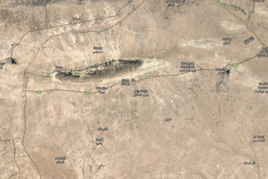
Local reports of the incident only mention residental buildings in Sinjar ( سنجار ) district, Nineveh province. The coordinates for Sinjar town are: 36.3206914, 41.8641115

Sinjar ( سنجار ) district outlined in red
Imagery: © 2018 Google
