Incident Code
Incident Date
Location
Geolocation
Geolocation
Airwars Assessment
(Previous Incident Code: I003)
A reported aerial bombardment (at 2200hrs local time) near an ISIL HQ east of Mosul, allegedly left up to seven members of the same family dead and injured in the al-Wadha Street area. At least three women were reported killed and a man and child injured.
While Baghdad TV attributed the strike to US aircraft, other media referred only to unspecified aircraft, or said that Iraqi forces were responsible.
According to local media, residents had earlier been warned of imminent airstrikes: “Iraqi planes dropped leaflets two days ago, in which civilians were warned against mixing with members of IS to avoid harm from any Iraqi security strikes targeting the organisation.” In response, ISIL reportedly evacuated part of its HQ in the city.
In its July 2017 civilian casualty report, the Coalition denied responsibility for the event: “Sep. 3, 2014, near Mosul, Iraq, via Airwars report: After a review of available information it was assessed that no Coalition strikes were conducted in the geographic area that correspond to the report of civilian casualties.”
Key Information
Geolocation Notes
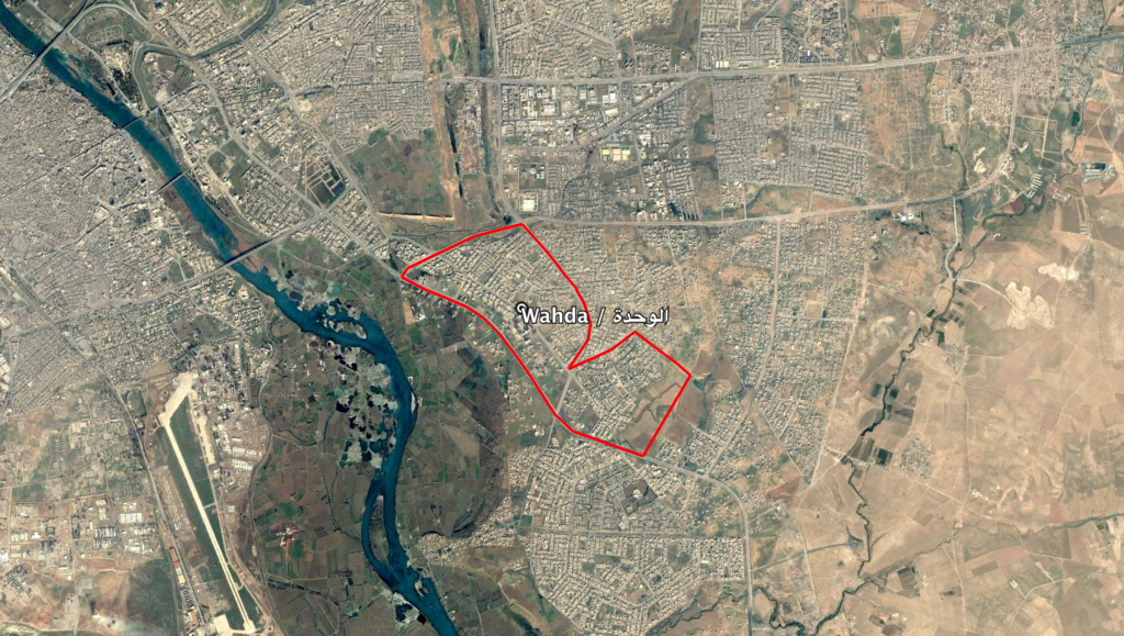
Reports of the incident mention the neighbourhood Al Wahda (الوحدة) in the east of the city of Mosul. The generic coordinates for this neighbourhood are: 36.3290942, 43.1870842.

The neighbourhood of Al Wahda (الوحدة) in the east of the city of Mosul
Imagery: © 2019 Google
