Incident Code
Incident Date
Location
Geolocation
Geolocation
Airwars Assessment
(Previous Incident Code: I160)
A number of sources reported that at least seven civilian forced labourers were killed in an alleged Coalition on a Daesh pickup truck. The incident took place in the main street area of Karama, a neighbourhood to the east of Mosul.
NRN News said that the civilians were being used by Daesh as forced labourers to demolish graves in the city. At the time of their deaths “, they were on their way back to prison before their release.”
Key Information
Geolocation Notes
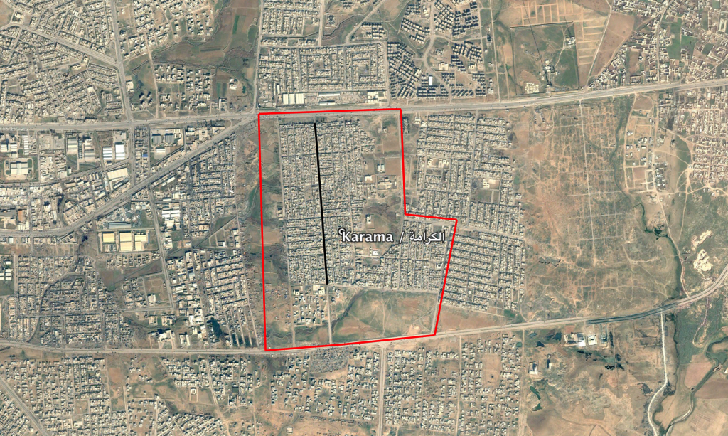
Reports of the incident mention the main street in the neighbourhood of Karama (الكرامة) in the east of Mosul. The generic coordinates for this main street are: 36.3435269, 43.2140027.

The neighbourhood of Karama (الكرامة) in the east of Mosul, the main street marked in black
Imagery: © 2019 Google
