Incident Code
Incident Date
Location
Geolocation
Geolocation
Airwars Assessment
(Previous Incident Code: I638)
Yaqein reported on the aerial bombardment of International Alliance aircraft on the districts of Anah, injuring 7 civilians. However, in two later reports, the news agency stated that the Iraqi army launched air raids targeting residential areas. The US-led Coalition later accepted responsibility for the event, saying it had unintentionally injured seven civilians.
The Iraqi Spring Media quoted the town council chief Abdul Karim al-Ani who confirmed the injury of 7 civilians, including children. He also stated that the Rafidain Bank was targeted.
In its July 2018 monthly report, the Coalition noted: “September 7, 2017, near Anah, Iraq, via Airwars report. During a strike on Daesh command and control nodes, seven civilians were unintentionally injured.”
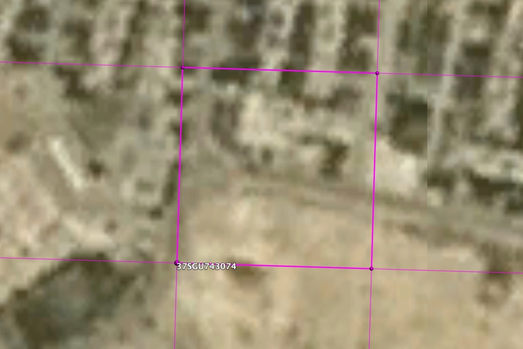
The Coalition provided Airwars with the location of this incident, accurate to within a 100 metre box.
Key Information
Geolocation Notes
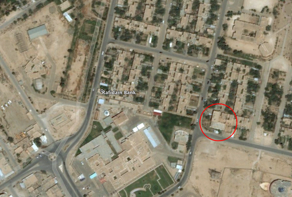
Reports of the incident mention that the alleged Coalition airstrike targeted the Rafidain Bank in the center of Anah. The coordinates for the Rafidain Bank are: 34.372268, 41.983302. The bank itself doesn’t seem to be damaged, but on satellite imagery available to Airwars structural damage to a building in the vicinity can be seen between June 24 and September 19, 2017

The Rafidain Bank and the location at which structural damage can be seen on satellite imagery between June 24 and September 19, 2017
Imagery: © 2018 Bing

MGRS coordinates
Imagery: © 2018 Google
