Incident Code
Incident Code
Incident Date
Location
Geolocation
Geolocation
Airwars Assessment
(Previous Incident Code: LM040 )
Between 15 and 19 men, including three medical personnel, were killed and at least six others were injured between Gargur and the Gaddafi compound at Bab al-Aziziyah in Tripoli on August 23, 2011.
A member of the rebel forces witnessed 15 bodies, all in civilian clothes and all of them handcuffed behind the back with electric cable or handcuffs, being loaded into a truck outside of the Gaddafi compound.
Another witness saw Gaddafi forces stop an ambulance with “17 February” written on the side and shoot the three men on board, two men in medical scrubs and the driver.
Another witness was detained at the same checkpoint and saw a man who had a card identifying him as a Tripoli rebel shot in the head. The witness and his friend were beaten and held in a shop in Bab Aukara where four detainees were already being held and had undergone severe torture. This same witness also witnessed the medical staff being executed.
Geolocation Notes
Reports of the incident mention the Bab Akkara (باب عكاره) neighbourhood of Tripoli (طرابلس), the generic coordinates for which are: 32.866912, 13.173494. Reports of the incident also mention a riverbed which runs along the neighbourhood’s southwestern edge. Due to limited satellite imagery and information available to Airwars, we were unable to verify the location further.
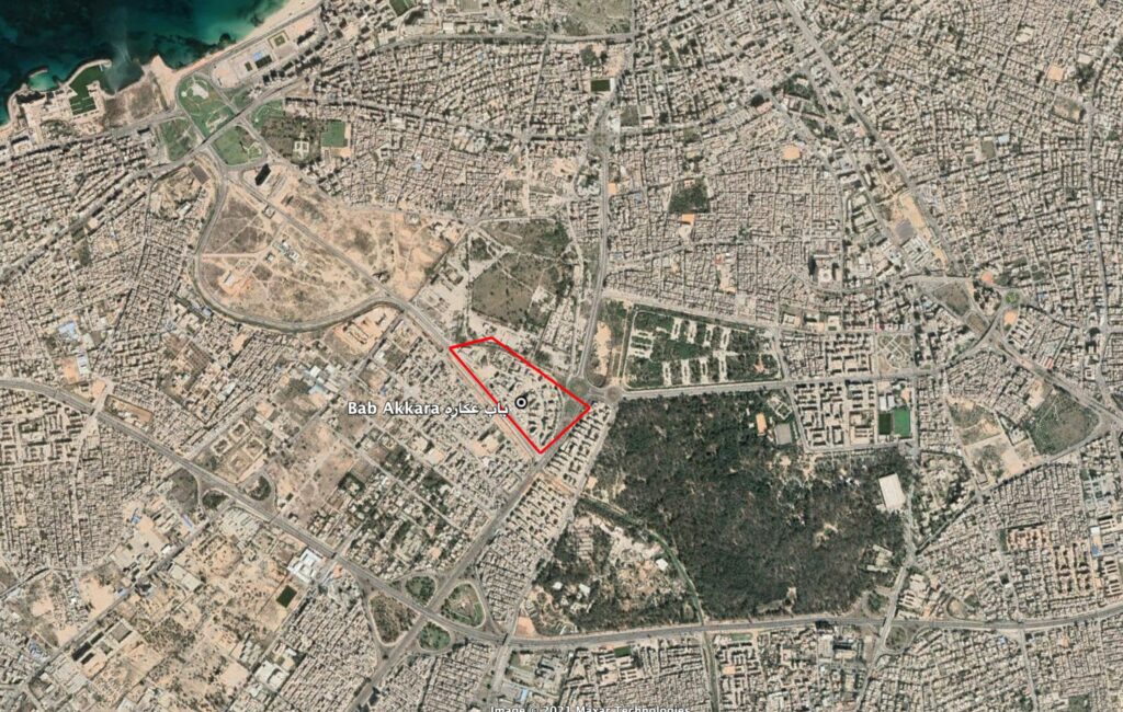
Reports of the incident mention the Bab Akkara (باب عكاره) neighbourhood of Tripoli (طرابلس). Reports of the incident also mention a riverbed which runs along the neighbourhood’s southwestern edge.
Imagery: Google Earth