Incident Code
Incident Date
Location
Geolocation
Geolocation
Airwars Assessment
(Previous Incident Code: ISPT036 )
The Israeli military allegedly targeted a house on Al-Nafaq Street in Gaza city, resulting in the death of one civilian according to multiple sources.
All of the sources that reported on this incident provided similar information that one civilian was killed in Israeli strikes on Al-Nafaq Street. No other information is available at this time.
Geolocation Notes
Reports of the incident mention the vicinity of Al Nafak (القرم) street within Jabalia (جباليا). Due to limited satellite imagery and information available to Airwars, we were unable to verify the location further. The generic coordinates for Al Nafak street are: 31.518634, 34.466200.
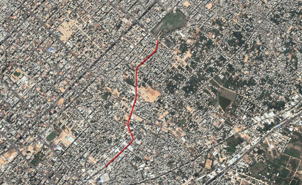
Reports of the incident mention the vicinity of Al Nafak (القرم) street within Jabalia (جباليا).
Imagery: Google Earth