Incident Code
Incident Date
Location
Geolocation
Geolocation
Airwars Assessment
(Previous Incident Codes: R2342RS2491)
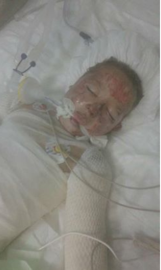
Local media reported that between two and six civilians – an entire family, according to one source – died in alleged Russian or regime strikes on al-Tamanah. Sources blamed both Russian airstrikes or missiles fired from Russian battleships. Some other sources also pointed to regime warplanes.
HNN reported that there had been “martyrs and wounded as a result of shelling by Russian battleships in the Mediterranean on the villages of Jabal al-Zawia in the southern countryside of Idlib”.
According to the Facebook group ‘Al Tamana’a the Free media office of the town’ on Sept 22nd: “The warplanes of the Russian air force and the regime continue to intensify their air raids on the town of al-Tamanah for the fourth day in a row. The number of raids reached 36, resulting in the injury of a whole family (father, mother, and four children), in addition to the large destruction of civilian homes and farms surrounding the town.”
Key Information
Geolocation Notes
Reports of the incident mention the town of al Tamana’a (التمانعة), for which the generic coordinates are: 35.457626, 36.750314. Due to limited satellite imagery and information available to Airwars, we were unable to verify the location further.


