Incident Code
Incident Date
Location
Geolocation
Geolocation
Airwars Assessment
Ten civilians died and others were wounded in alleged Turkish shelling of Al Araf, between Celebeyi and Ayn Issa, local media reported.
#ANF noted: “Turkish troops and mercenaries carried out aggression against the village of al-Aref located between Kobanê’s Çelebeyi town and Ayn Issa. There are reports that many civilians lost their lives in the attack.”
According to @TurkceAnha, “The invading Turkish state and its gangs launched a howitzer attack on the village of El Aref between the village of Çelebeyi in Kobanê and Eyn Isa, where there were many civilians. Many civilians were killed in the attack.”
@dersi4m said that “10 civilians were killed and several were wounded”, while @ HiwaDilan_71 tweeted that the “Turkish army massacred and wounded more than 10 civilians in the village of al-Arif.”
Key Information
Geolocation Notes
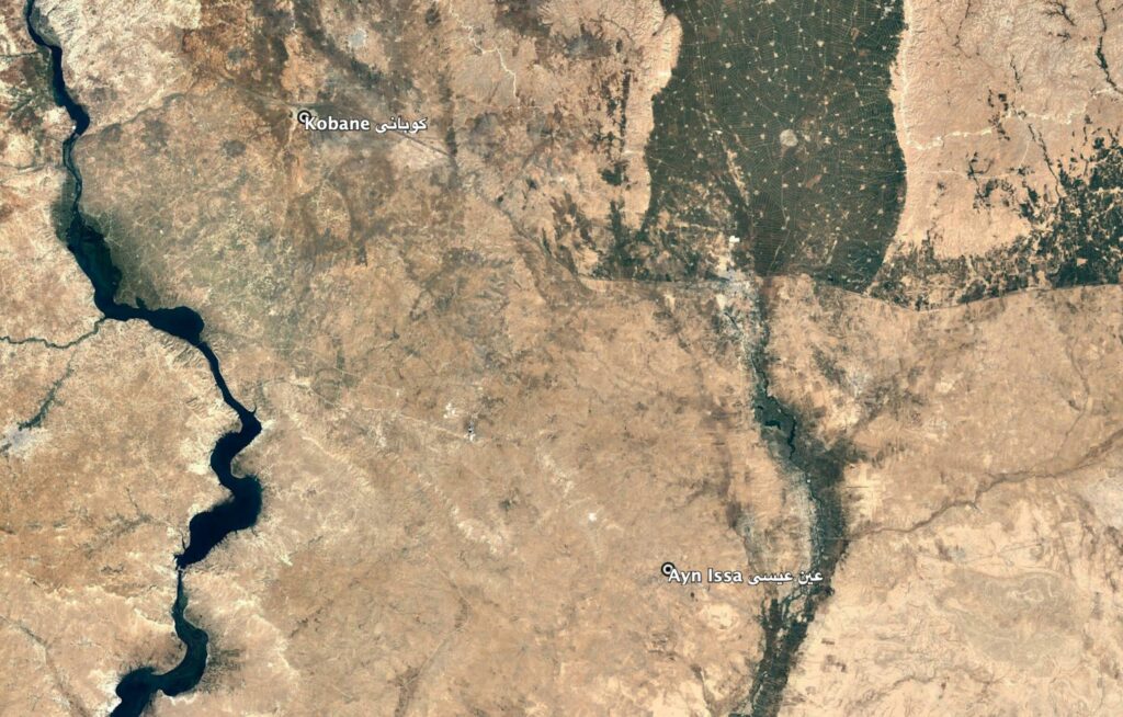
Reports of the incident mention the village of Al Arif (العريف), allegeledy located between Kobane (كوباني) and Ayn Issa (عين عيسى), in vicinity of Çelebeyi. Due to limited satellite imagery and information available to Airwars, we were unable to verify the location further. The generic coordinates for the middle point between Ayn Issa and Kobane are: 36.591274, 38.586731.

Reports of the incident mention the village of Al Arif (العريف), allegeledy located between Kobane (كوباني) and Ayn Issa (عين عيسى), in vicinity of Çelebeyi.
Imagery: Google Earth
