Incident Code
CS085
Incident Date
26 June 2015
Location
Road between Shadadi and Deir Ezzor (Road 7), Deir Ezzor, Syria
ميادين
Geolocation
35.604971,
40.69716
Accuracy: Neighbourhood/area
Geolocation
35.604971,
40.69716
Accuracy: Neighbourhood/area
Airwars Assessment
Last Updated: December 15, 2024
(Previous Incident Code: S084 )
A civilian non-combatant was reported killed in a Coalition bombing on the road linking Shadadi with Deir az Zawr. The victim came from the town of Mayadeen.
Geolocation Notes
Reports of the incident mention the road between the town of Shadadi (الشدادي) and the city of Deir Ezzor (دير الزور), known as Road 7. The coordinates for the town of Shadadi (الشدادي) are: 36.056316, 40.730438. The coordinates for the city of Deir Ezzor (دير الزور) are: 35.3353632, 40.1380348
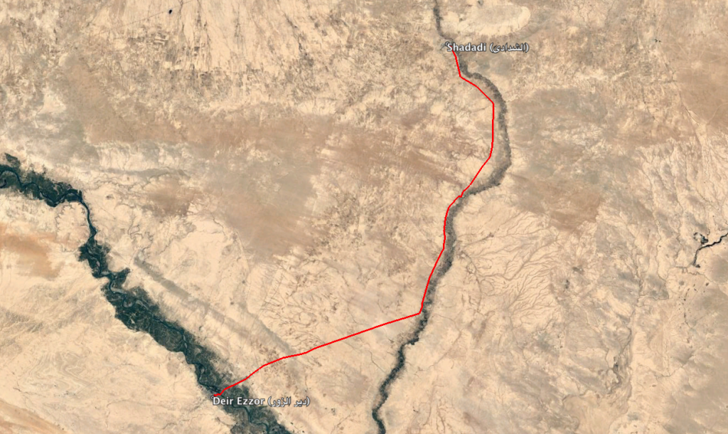
Road 7 between Shadadi (الشدادي) and Deir Ezzor (دير الزور)
Imagery: © 2018 Google
Military Statements
U.S.-led Coalition Assessment
Suspected belligerent
U.S.-led Coalition
U.S.-led Coalition position on incident
Non credible / Unsubstantiated
Reason for non-credible assessment
No Coalition strikes were conducted in the geographical area
Civilian deaths conceded
None
Civilian injuries conceded
None
Stated location
near the road between al-Shadadi and Deir Ez Zoor, Syria
U.S.-led Coalition Strike Report
The Coalition noted for June 25th-26th 2015 that “Near Dayr Az Zawr, one airstrike destroyed two ISIL fighting positions.”
U.S.-led Coalition Civilian Casualty Statement
2018-07-26
Original Source ↗
After a review of available information it was assessed that no Coalition strikes were conducted in the geographical area that correspond to the report of civilian casualties.