Incident Code
Incident Date
Location
Geolocation
Geolocation
Airwars Assessment
(Previous Incident Code: S935 )
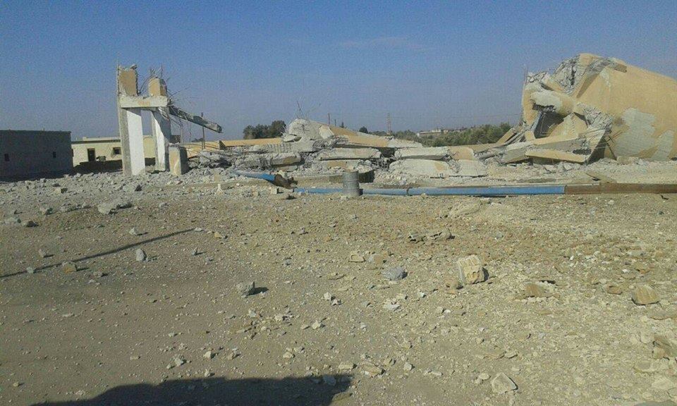
One man was reportedly wounded after a water tanker in Al Tawatha village near Abu Kamal in the east of Deir Ezzor was allegedly struck by a Coalition airstrike.
The man was said to be injured in the leg due to shrapnel exploding off the tanker.
According to Baladi News, “Coalition aircraft targeted a pipeline to transport oil near the Grand Mosque in the village of Al-Tawataha and destroyed parts of the mosque.” It made no mention of civilian casualties.
But the Syrian Observatory for Human Rights, who also pointed towards the Coalition, said that there was “information on casualties from the bombing” – though it didn’t offer further details.
According to Sharqiya, there was a “bombing of a mosque and a school in the al-Bukhammal, followed by heavy gunfire in the area.”
Geolocation Notes
Reports of the incident mention the village of Tawatha (الطواطحة), for which the generic coordinates are: 34.696987, 40.793104. Due to limited satellite imagery and information available to Airwars, we were unable to verify the location further.