Incident Code
Incident Date
Location
Geolocation
Geolocation
Airwars Assessment
(Previous Incident Code: S1399a)
Fifteen to 16 civilians or more died in an aerial attack reportedly conducted by the US-led Coalition on Al Tawaswiya neighbourhood, Raqqah city, according to local sources.
Saeed Ahmed Al Jum’a, his family and another family of relatives were documented killed by the source Marsad Al Hassaka, amongst other reports.
According to Smart activists, “the Tawasu’iya neighborhoods, the Bedouins and the White Garden area have been hit by about 20 coalition raids and 60 artillery and missile rounds from SDF”.
All sources attributed the attack to the US-led Coalition. Airwars will amend the entry when any new information arises.
Key Information
Geolocation Notes
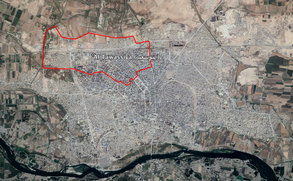
Reports of the incident mention residential buildings being struck in the neighbourhood of Al Tawassiya (التوسعیة), for which the coordinates are: 35.9633318, 38.9806321. The area refers to several neighbourhoods on the North West of Raqqah (الرقة), however, due to limited information available to Airwars, we were unable to verify the location further

Al Tawassiya neighbourhood (التوسعیة) in the North West of Raqqah (الرقة)
Imagery: © 2018 Google
