Incident Code
Incident Date
Location
Geolocation
Geolocation
Airwars Assessment
(Previous Incident Code: I433 )
According to local residents and the recently formed Iraqi Observatory for Human Rights, up to 80 civilians died when heavy airstrikes and shelling destroyed multiple houses in Meydan neighbourhood in Old Mosul.
According to Iraqi Spring Media Centre, 20 houses were destroyed. It spoke of “dozens of bodies” under the rubble. Activists and aid workers in Mosul had told the Iraqi Observatory for Human Rights that “more than 40 civilians were killed during Friday and Saturday when used by Daesh as human shields and American planes bombed them.”
Iraq News said on Saturday that during the past 24 hours as many as 80 civilians died in West Mosul.
In its June 2017 Civilian Casualty Report, the US-led Coalition noted: “March 17, 2017, near Mosul, Iraq, via social media report: The report contained insufficient information on the time, location and details to assess its credibility.”
Geolocation Notes
Reports of the incident mention Meydan neighbourhood (حي الميدان) in Old Mosul. Open sources maps indicate Meydan neighbourhood (حي الميدان) is a small area in the North of the Old Mosul, at approximately: 36.336461, 43.124456
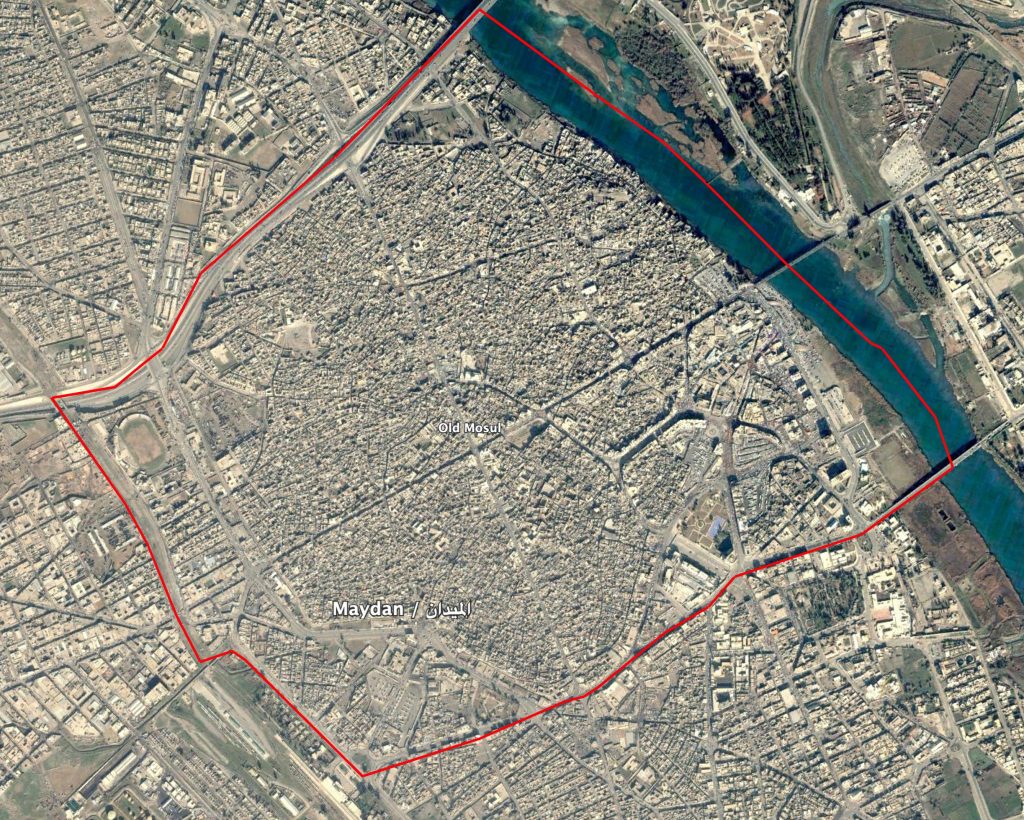
Maydan (المیدان) area in Old Mosul.
Imagery: © 2018 Google