Incident Code
Incident Date
Location
Geolocation
Geolocation
Airwars Assessment
(Previous Incident Code: S51)
A coalition airstrike allegedly killed four unnamed civilian males in the vicinity of Al Shadadi, according to VDC. The Step news agency reported multiple coalition strikes in the vicinity: “The Alliance today carried out a number of raids on ISIL targets south of Al Hassakah. Five missiles fell on the city of Shadadi followed by 8 more on the organisation’s barriers around Shadadi including barrier number 47 where 5 members were killed and a further 14 wounded, most of them in critical conditions. Other strikes targeted… the southern entrance to the city of Al-Hasakah.”
Another news site reported a major coalition raid, describing more than 20 attacks around Shadadi and adding that “there are reports that there have been civilian deaths.”
Key Information
Geolocation Notes
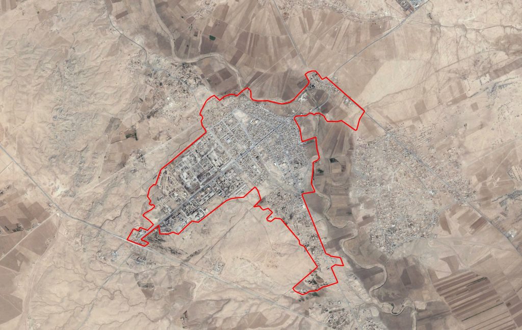
Reports of the incident mention Al Shadadi town ( الشدادي ), South Al-Hasakah Governorate, Syria. The location for the midpoint of Al Shadadi town ( الشدادي ) is: 36.056316, 40.730438

Al Shadadi town ( الشدادي )
Imagery: © 2018 Google
