Incident Code
Incident Date
Location
Geolocation
Geolocation
Airwars Assessment
(Previous Incident Code: S71)
A number of sources reported that a “civilian car” was struck “on the road between Al I’dwania and Raja’an,” near Al Hassakah, killing a family of four. Those killed were described as a man, his wife, mother and daughter – all from the village of Raja A’an in Ras al-Ain.
Victims
Family members (4)
Key Information
Geolocation Notes
Reports of the incident mention “the road between Al Idwania (العدوانية) and Raja’an,” (طريق العدوانية – رجعان), near Al Hassakah. The road itself is not marked on maps, but the coordinates for Raja’an (رجعان) are: 36.0029376, 40.3580189. NOTE: a possible location for Al Idwania (العدوانية) could be: 36.7003565, 39.6532631. However, this is near the Syrian/Turkish border, 100 km away and therefore unlikely to be correct. Sirajpress reported that the strike occurred in the “afternoon.” However, the incident was first reported at 13:50, May 26th, 2015 local time, on the Hassakah Youth Union Facebook page, which suggests that the incident occurred early afternoon, or in fact in the morning
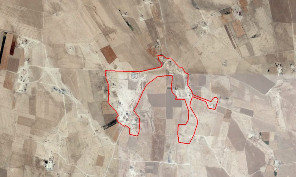
The village of Raja'an (رجعان)
Imagery: © 2018 Google