Incident Code
Incident Date
Location
Geolocation
Geolocation
Airwars Assessment
(Previous Incident Code: S1265)
Local sources reported that two civilians, an elderly man and woman, were killed following airstrikes in Eastern Deir Ezzor.
The civilians killed were displaced from the town of Al-Matarada, Deir Ezzor, and they were travelling in a van toward the Al-Hool refugee camp in the southern countryside. The US-led Coalition was not blamed for the attack. However no other actors were cited, with sources referred instead to “unidentified airplanes” and “unknown warplanes”. According to Al Hassaka Marsad, the strike hit the vehicle close to the Hamda checkpoint.
Key Information
Geolocation Notes
Reports of the incident mention that the alleged Coalition airstrike targeted a car or van, near a checkpoint in the village of Abu Hamda (أبو حامضة), approximately 35 km from Shaddadi, on the road to Al-Hool refugee camp (مخیم الهول) in the eastern Deir Ezzor countryside. The civilians killed were displaced from the town of Al-Matarada (المطاردة). Due to limited satellite imagery and information available to Airwars, we were unable to verify the location of the Hamda checkpoint, however, the coordinates for the town of Al-Matarada (المطاردة) are: 34.592661, 40.819016, and the coordinates for the Al-Hool refugee camp (مخیم الهول) are: 36.375962, 41.141396
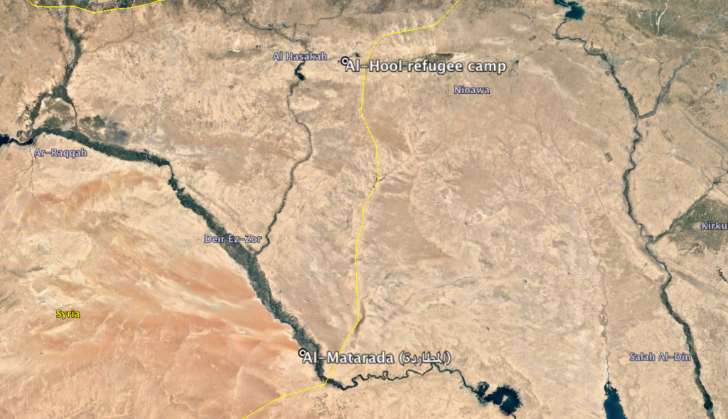
The town of Al-Matarada (المطاردة) and the Al-Hool refugee camp (مخیم الهول)
Imagery: © 2018 Google