Incident Code
Incident Date
Location
Geolocation
Geolocation
Airwars Assessment
(Previous Incident Code: S1328)
Nine houses were allegedly targeted in airstrikes on al Sukkariya village, according to multiple local sources, @albokalnews suspected this indicated “dozens of civilian martyrs”. However reporting was confused with another alleged incident at al Baghouz (S1329) with no breakdown of casualties.
Fresh Syria named the US-led Coalition as the culprit, and asserted that an unknown number died in “shelling” on al Sukkariya village. It said the houses targeted were on a roundabout in al Sukariya and reportedly belonged to “elements of Daesh”, however the event still caused civilians fatalities.
Arabittoday noted the death toll was unavailable due to “security imposed by ISIS on internet cafes”. Shaam claimed Coalition strikes targeted “cars belonging to Islamic State” in the bombardment, and Al Araby said the area targeted was so-called Islamic State’s headquarters in al-Sukkariyah.
The majority of sources alleged the US-led Coalition was responsible. No further details regarding civilian casualties are presently available.
Key Information
Geolocation Notes
Reports of the incident mention the Al Sukkariyah (السكریة) roundabout area, near the city of Abu Kamal (البوكمال), for which the coordinates are: 34.476270,40.911713.
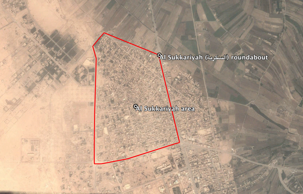
The Al Sukkariyah (السكریة) roundabout area
Imagery: © 2018 Google