Incident Code
Incident Date
Location
Geolocation
Geolocation
Airwars Assessment
(Previous Incident Code: S1370)
Up to five civilians died in a strike on a taxi or militant vehicle in Al Arba’ain street, Al Mayadin, local media reported – though it was unclear who was to blame. Most sources didn’t identify who was responsible, though one attributed the event to Russian aircraft.
Euphrates Post reported “a military air strike targeted a taxi in Al-Arbaeen Street in the city of Al-Mayadin, killing all in the car.” Masar Press said that “three civilians were killed as a result of the targeting of a military vehicle in Al-Arbaeen Street in Al-Mayadin”. That suggested that the civilians harmed were not in the vehicle itself.
Alghad, which put the death toll at five, blamed Russia.
Key Information
Geolocation Notes
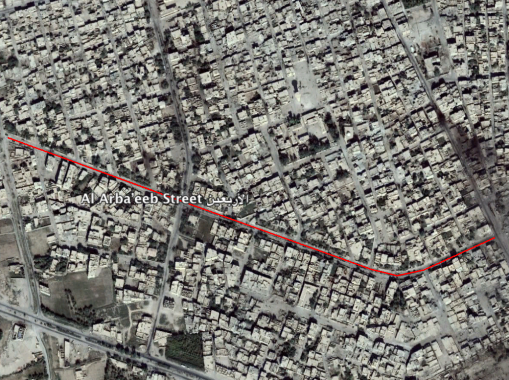
Reports of the incident mention Al Arba’eeb Street (الأربعین) in Al Mayadin city. Open Source maps give a possible possible for Al Arba’eeb Street (الأربعین) at: 35.017721, 40.447309.

Possible location for Al Arba’eeb Street (الأربعین).
Imagery: © 2018 Google
