Incident Code
Incident Date
Location
Geolocation
Geolocation
Airwars Assessment
(Previous Incident Code: S1385)
Two named civilians died in an airstrike on the al Hawaji crossing near al Shaheel in Deir Ezzor, according to local media. It is currently unclear which party was to blame for the deaths. While no source explicitly blamed the US-led Coalition, many didn’t identify the culprit. Other sources, however, pointed to both Russia and the Assad regime.
The Syrian Observatory for Human Rights put the death toll at two and said that Russian warplanes were “believed” to have carried out the attack. But according to the Syrian Network for Human Rights, the regime was to blame.
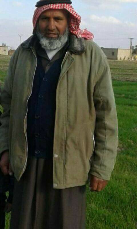
Two victims were named by Euphrates Post (though it didn’t say which party was responsible for their deaths).
Deir Free, however, attributed the men’s deaths to Russia.
Victims
Individuals


Key Information
Geolocation Notes
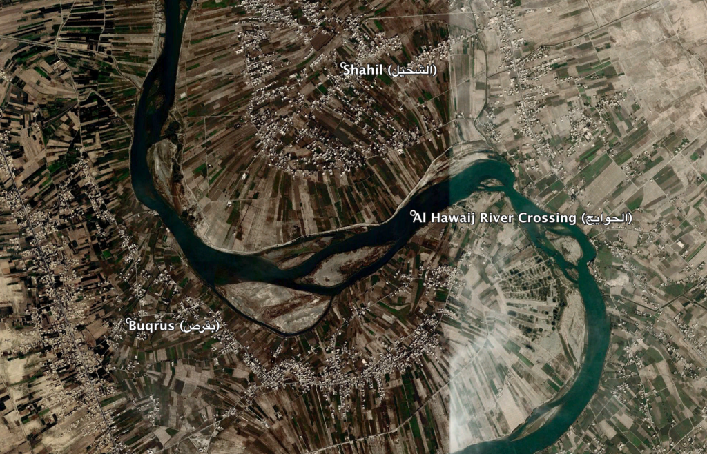
Reports of the incident mention the Al Hawaij (الحوایج) river crossing, located between the villages of Shahil (الشحیل) and Buqrus (بقرص), for which the coordinates are: 35.068432,40.454664. On satellite imagery available to Airwars the river crossing is seen active on October 1st and on October 2nd a Coalition MQ-1/MQ-9 can be seen flying over it

The strike targeted the Al Hawaij (الحوایج) river crossing, located between the villages of Shahil (الشحیل) and Buqrus (بقرص)
Imagery: © 2018 Google
