Incident Code
Incident Date
Location
Geolocation
Geolocation
Airwars Assessment
(Previous Incident Code: S1487)
Up to three civilians died in an alleged Coalition airstrike on Abu Hamam and al Kashkiya, local media reported.
According to the Syrian Observatory for Human Rights, “International Coalition’s warplanes targeted areas in the towns of Abu Hamam and Al-Kashkia, killing three citizens including two women, and injuring others”.
One woman was specifically reported killed by the Coalition in Abu Hamam by the Shaam News Network, Step News and others.
Other sources reported Coalition airstrikes on al Kashkiya that day in support of SDF ground actions. And there were broader references to three civilians killed in the two towns.
According to Al Sharq al Souri, “Three members of the [Islamic] state organization were killed in a coalition air raid targeting a car for the organization in the town of Al-Kashkiya east of Deir Al-Zour”. Al Haal put the number of ISIS fighters killed at six with nine others wounded, while other sources also reported violent clashes in the area.
Key Information
Geolocation Notes
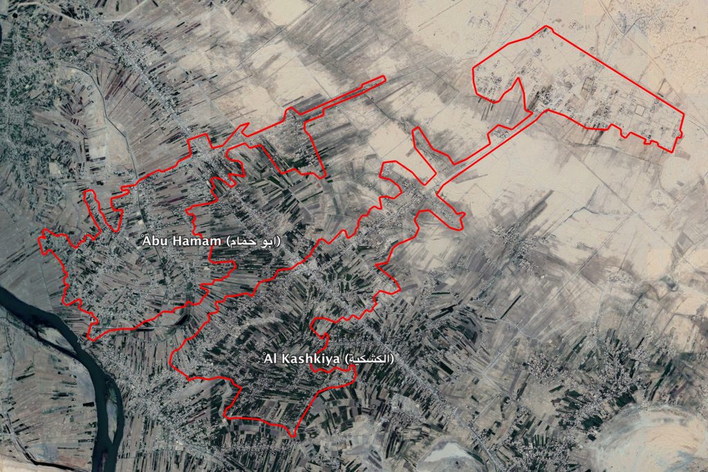
Reports of the incident mention the neighbouring villages of Abu Hamam (ابو حمام) and Al Kashkiya (الكشكية), for which the coordinates are: 34.823668, 40.668812

The neighbouring villages of Abu Hamam (ابو حمام) and Al Kashkiya (الكشكية).
Imagery: © 2018 Google
