Incident Code
Incident Date
Location
Geolocation
Geolocation
Airwars Assessment
(Previous Incident Code: S180)
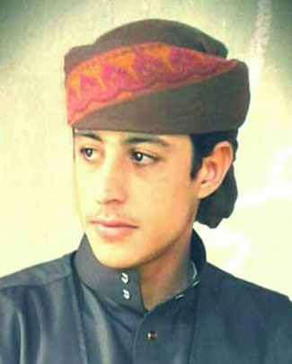
A young civilian non-combatant named as Khuder Mohammad Al Assawad was reported by VDC as having died “Due to coalition air force’s shelling of a civilian car in Tel al-Jayer village.”
Zaman al Wasl put the death toll higher, noting that “two civilians died as a result of a strike carried out by international Coalition planes on their car near the group of villages of Tel Jayer east of the Shaddadi area near the border with Iraq, according to local sources.”
In the first of their March 2020 civilian casualty reports, the US-led Coalition assessed reports that they were responsible for civilian harm in this strike as “non-credible”, stating that no Coalition actions were conducted in the geographical area at that time.
Key Information
Geolocation Notes
Reports of the incident mention the village of Tall al-Jayer (تل الجاير), for which the generic coordinates are: 36.033926, 41.0987592. Due to limited satellite imagery and information available to Airwars, we were unable to verify the location further.

