Incident Code
Incident Date
Location
Geolocation
Geolocation
Airwars Assessment
(Previous Incident Code: S617)
Six civilians reportedly died and 11 were wounded in alleged Coalition airstrikes on Tabaqa, according to local media.
The Syrian Observatory for Human Rights reported that “warplanes believed to belong to the International Coalition bombed areas in the second and third neighborhoods of the town of Tabaqa in the western Rif Al Rigga. No casualties were reported.”
According to the Smart News Agency “A medical source said six bodies belonging to civilians and 11 wounded, including a woman and three children, arrived at the National Tabaqa Hospital.” A local source said that the raids targeted the First neighborhood, the Old Villas district and military housing near the ‘Mujahideen Affairs’ building of the Islamic State west of the city. The raids coincided with an attempt by the Syrian Democratic Forces to advance from the south and south-west of the city, as it approaches its eastern entrance.
Key Information
Geolocation Notes
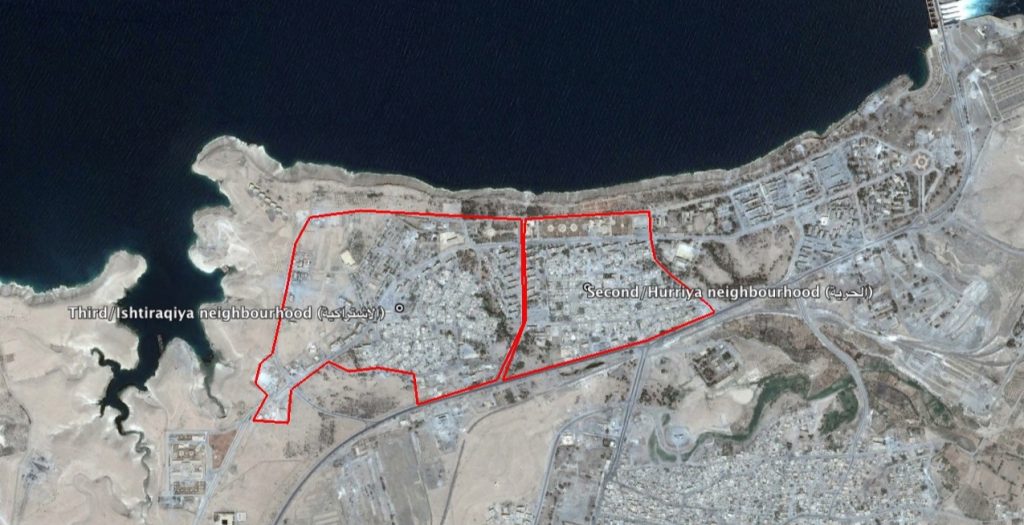
Reports of the incident mention the town of Tabaqa ( الثورة), Raqqa governorate, for which the coordinates are: 35.8295049, 38.5360909. The ‘second’ and ‘third’ neighbourhoods of Tabaqa are mentioned. The second neighbourhood respectively refers to the Hurriya (الحرية) or ‘Freedom’ neighbourhood, for which the coordinates are: 35.846667, 38.543889. The third neighbourhood refers to the Ishtiraqiya (الاشتراكية) or ‘Socialism’ neighbourhood, for which the coordinates are: 35.8454216, 38.5355544.
Imagery: © 2018 Google