Incident Code
TS333
Incident Date
12 October 2019
Location
M4 Highway south of Tal Abyad, Al Hassakah, Syria
طريق M4 جنوب تل أبيض
Geolocation
36.425609,
39.017534
Accuracy: Street
Geolocation
36.425609,
39.017534
Accuracy: Street
Airwars Assessment
Last Updated: December 15, 2024
The Syrian Observatory for Human Rights reported: “Members of the Turkey-loyal factions carried out a field execution of 6 new citizens by the fire of machine guns, after they took control of the highway to al-Hasakah city south of Tal Abyad for a short time, before they withdrew from it”.
No further details are currently available.
Geolocation Notes
Reports of the incident mention the M4 highway south of Tal Abyad (تل أبيض), for which the generic coordinates are: 36.425609, 39.017534. Due to limited satellite imagery and information available to Airwars, we were unable to verify the location further.
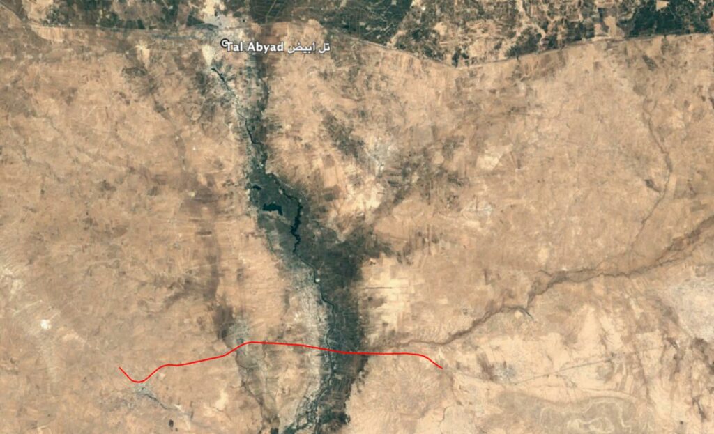
Reports of the incident mention the M4 highway south of Tal Abyad (تل أبيض).
Imagery: Google Earth
Military Statements
Turkish Military Assessment
Suspected belligerent
Turkish Military
Turkish Military position on incident
Not yet assessed