Incident Code
Incident Date
Location
Geolocation
Geolocation
Airwars Assessment
@c1wan tweeted: “A civilian martyr was killed in the village of Xanike between Dirbêsiyê and Amûde as a result of the cannon shootings of the Turkish army.”
@dersm_arin also reported one civilian death.
Geolocation Notes
Reports of the incident mention the village of Xanike, allegedly between the cities of Dirbêsiyê (الدرباسية) and Amûdê (عامودا).Due to limited satellite imagery and information available to Airwars, we were unable to verify the location further. The generic coordinates for a middle point between these two locations are: 37.095082, 40.774808.
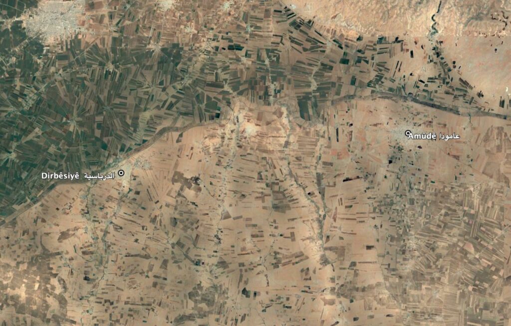
Reports of the incident mention the village of Xanike, allegedly between the cities of Dirbêsiyê (الدرباسية) and Amûdê (عامودا).
Imagery: Google Earth