Incident Codes
Incident Date
Location
Geolocation
Geolocation
Airwars Assessment
(Previous Incident Codes: S1464 R2517 )
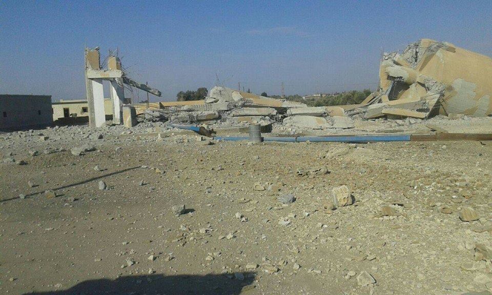
Up to five civilians died in an airstrike on the al Mrashda river crossing in Deir Ezzor, local media said – though sources were conflicted as to whether the US-led Coalition, Syrian regime or Russia were responsible.
According to Al Hall, the Coalition “targeted the water crossing in the town of Al Mrashda in rural Bu Kamal also, killing one man and three children and wounding four others, most of them in critical condition”.
The Syrian Observatory for Human Rights said that it was “unknown” whether the planes belonged to the Coalition.
However, Baladi said that Russia was. It said that five people died and others were wounded. Alaraby also pointed towards Moscow.
But the Syrian Network for Human Rights blamed the regime, putting the death toll at four.
A number of other sources didn’t identify the warplanes that carried out the attack.
Geolocation Notes
Reports of the incident mention a river crossing in the village of al Mrashda (المراشدة) for which the coordinates are: 34.5099691,40.9314306 The coordinates for the village’s main river crossing are: 34.492215,40.918247 Destroyed ferry and vehicles can be seen on a satellite image from Nov. 13, 2017 Airwars does not have the rights to publish the image.
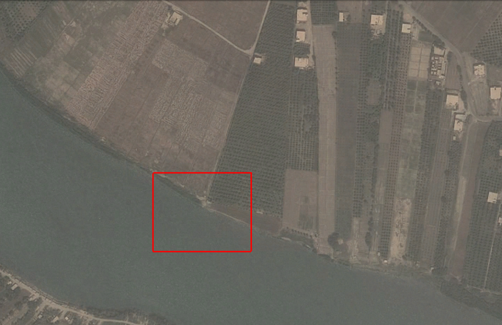
Mrashda (المراشدة) village river crossing
Date taken: May 21, 2011
Imagery: © 2018 Google