Incident Codes
Incident Date
Location
Geolocation
Geolocation
Airwars Assessment
(Previous Incident Code: S1473)
It was locally reported that the following six civilians died in an airstrike on Al-Sha’afa water crossing.
Most sources didn’t say who was responsible, referring to ‘raids’ and ‘bombing by aircraft.’.
However, Khafafeesh al Zalam reported that Russia carried out raids on a nearby town on November 11th, killing two civilians.
Victims
Family members (2)
Family members (2)
Individuals
Key Information
Geolocation Notes
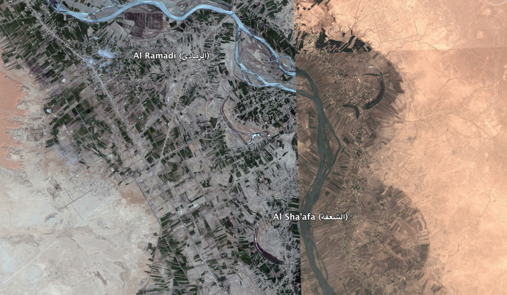
Reports of the incident mention the river crossings between the village of Al Sha’afa (الشعفة), for which the coordinates are: 34.57888,40.93441, and the village of Al Ramadi (الرمادي), for which the coordinates are: 34.6388889,40.8755556. Possibly there were strikes on multiple river crossings within the stretch of 7-10km between these villages on opposing sides of the river. Hundreds of cars are seen on the western side of the river on satellite images available to Airwars from mid November to early December 2017 (an example can be seen around this area: 34.617246,40.922012), most likely abandoned by fleeing villagers or IS militants

River between Al Sha'afa (الشعفة) and Al Ramadi (الرمادي)
Imagery: © 2018 Google
