Incident Code
Incident Date
Location
Geolocation
Geolocation
Airwars Assessment
(Previous Incident Code: I077a)
The United Nations Assistance Mission in Iraq noted in January 2016 that two possible civilian casualty incidents had taken place in Ramadi. The Coalition has confirmed carrying out strikes in the vicinity that day.
According to UNAMI, “On 3 September an airstrike hit a bridge in Jazeera al-Khaldiya, around 20 kilometres east of Ramadi, Anbar, killing 46 civilians and wounding 20. Another source confirmed the incident but stated that the casualties were ISIS members. UNAMI/ OHCHR was not able to confirm the number of casualties or their status.
On the same day, another airstrike reportedly hit a residential area in eastern Ramadi, killing 28 civilians. A single source reported this second incident and UNAMI/ OHCHR was unable to verify it.”
At the time of the incident, local media blamed the Iraqi military, with claims on Facebook for example that “Iraqi medical sources say that 46 people have been killed, most of them women and children, with two dozen others injured, in the bombing by Iraqi warplanes of a transit area on the Euphrates River on Khalidiya island northeast of Ramadi.
In its monthly civilian casualty report for October 2019 – published on December 5th of the same year – the US-led Coalition assessed this event as ‘non credible’, noting: “September 3, 2015, in Jazeera al-Khaldiya, Iraq, via Airwars report. After a review of all available records it was assessed that no Coalition actions were conducted in the geographical area that corresponds to the report of civilian casualties. 2813/CI101 38SLB628993”.
The Coalition published a location for the assessment identifying to within 100 metres the area where it had focused its review.
Key Information
Geolocation Notes
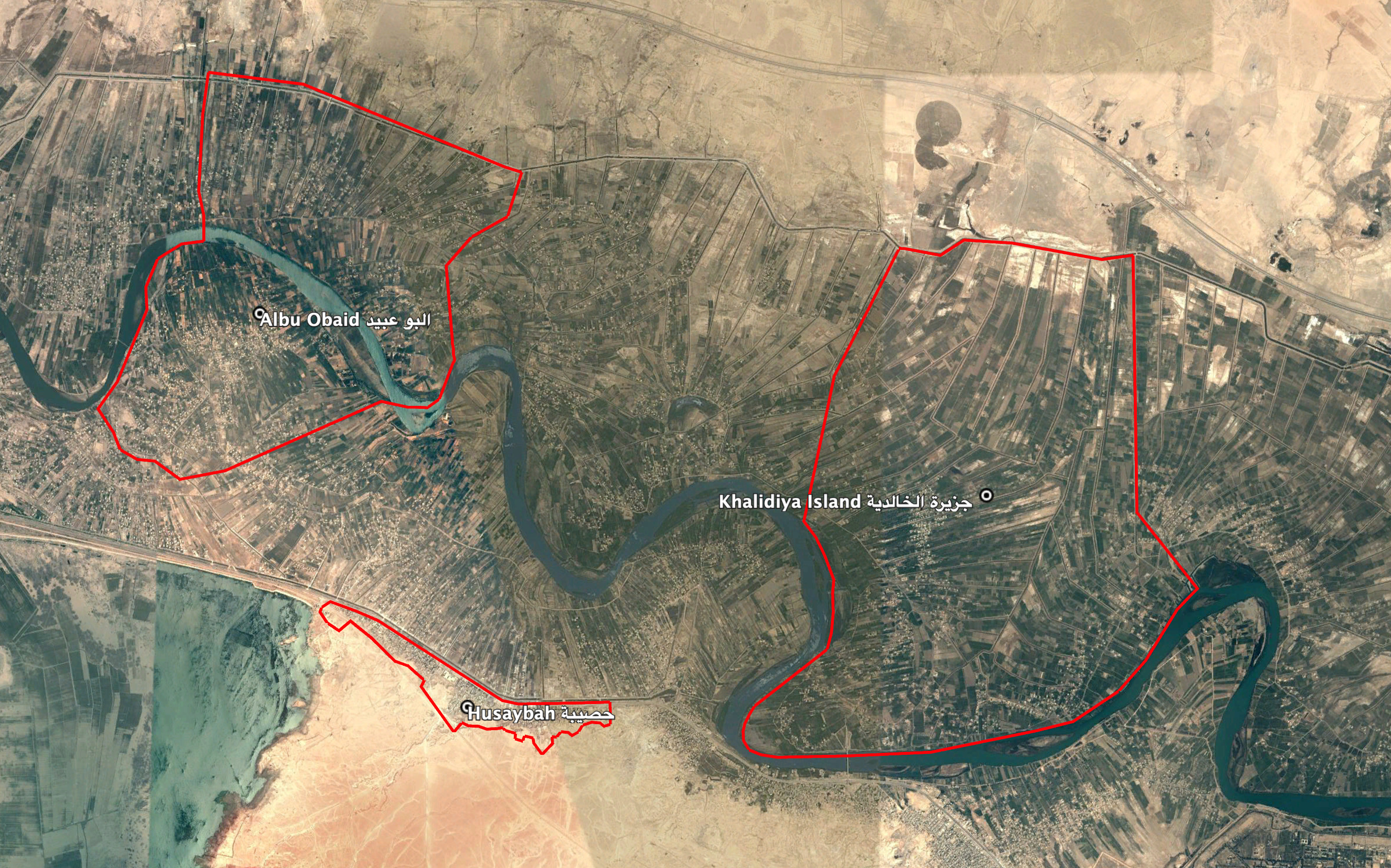
Reports of the incident mention a border crossing being struck in the vicinity of Husaybah (حصيبة) village that connects the areas of Khalidiya Island (جزيرة الخالدية) and Albu Obaid (البوعبيد), for which, due to limited satellite imagery and information available to Airwars, we were unable to verify the location further. The generic coordinates for this area are: 33.4239915, 43.4280968

Reports of the incident mention a border crossing being struck in the vicinity of Husaybah (حصيبة) village that connects the areas of Khalidiya Island (جزيرة الخالدية) and Albu Obaid (البوعبيد).
Imagery: Google Earth
