Incident Code
Incident Date
Location
Geolocation
Geolocation
Airwars Assessment
(Previous Incident Code: I634)
Local media reported on the death of civilians following alleged US-Coalition airstrikes on Al Qaiem District.
According to Yagein, the aircraft launched two raids targeting residential neighbourhoods and the school of the Eastern Renaissance. The sources added that the bombing caused the destruction of a number of houses which led to deaths and injuries of civilians. All sources said the US-led Coalition was responsible for the attack.
Specifics regarding civilian casualties are currently unknown.
Key Information
Geolocation Notes
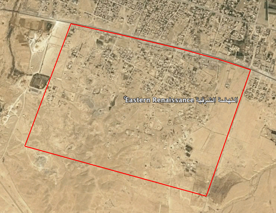
Reports of the incident mention the Eastern Renaissance (النهضة الشرقية) school in Al Qaim. The coordinates for the Eastern Renaissance (النهضة الشرقية) neighbourhood are: 34.365296, 41.062818. Airwars assessment summary uses the coordinates for the neighbourhood, however, a possible location for the school is: 34.3702996, 41.0638154. Airwars is unable to verify the geolocation of the school.

Eastern Renaissance (النهضة الشرقية) neighbourhood, Al Qaim.
Imagery: © 2018 Google
