Incident Code
Incident Date
Location
Geolocation
Geolocation
Airwars Assessment
(Previous Incident Code: I644 )
According to a number of sources, civilian casualties were occurred following alleged Coalition actions at Al Qaim – although reporting was confused.
A number of sources reported government attacks on Anah and Rawah, coupled with Coalition air or possible guided missile strikes at Al Qaim, western Anbar province. According to a subsequent report by Yaqin, the warplanes renewed heavy bombardment of areas and cities in western Anbar province and focused on the westernmost city of Al Qaim while continuing the suffocating siege on those cities facing imminent intrusions by the joint forces with the Militia and US occupation forces supported by the International Military coalition.
Al Rafidain reiterated Yaqins claims that the Coalition aircraft had operated in conjunction with government bombing and noted that the magnitude of the losses following the bombing was unknown. Shelling of residential neighbourhoods on the outskirts of Anah and Rawah reportedly took place.
Iraq News alleged the attacks were prepared for the start of military operations to control the areas mentioned from the grip of the state organisation.
Geolocation Notes
Reports of the incident mention the city of Al Qaim (34.372500, 41.051111), as well as the towns Rawah (34.479498, 41.919272) and Anah (34.372699, 41.986442). Due to limited satellite imagery and information available to Airwars, we were unable to verify the location further
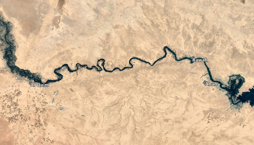
Al Qaim, Rawah and Anah
Imagery: © 2018 Google