Incident Code
Incident Code
Incident Date
Location
Geolocation
Geolocation
Airwars Assessment
(Previous Incident Code: LG014d)
On June 29th, 2011, rockets on Misurata from Gaddafi forces killed one thirteen year old and injured six others. The shelling was primarily aimed at the Doufan neighborhood. The deceased thirteen year old was identified as Moftah Muhammad Jalwal, while three out of the six injured were identified, but their ages were not provided.
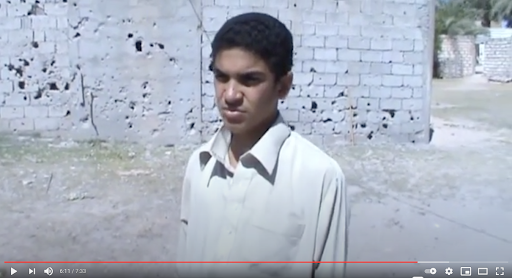
Multiple sources confirmed the shelling, as well as civilian casualties. A video from Al Smood Libya showed an interview following the shelling, and showed several images reported to have been a result of the bombings.
A Facebook post by Farag Akwadir stated “The brigades were concentrated in the Dofan area south of Misrata. The shelling and bombardment were directed at civilian neigborhoods and distroyed several homes and other civilian properties.”
Key Information
Geolocation Notes
Reports of the incident mention the Doufan (دوفان) neighborhood, allegedly in the south of Misurata (الغيران) city. Due to limited satellite imagery and information available to Airwars, we were unable to verify the location further. The generic coordinates for Misurata are: 32.374457, 15.087794.

