Incident Code
Incident Date
Location
Geolocation
Geolocation
Airwars Assessment
(Previous Incident Code: I032)
According to NINA, a source in the forensic medicine department of the local hospital reported that numerous civilians died “in bombing by the international coalition aircraft [which] targeted a stronghold of the Islamic State in Bartalah north of Mosul.” Among 16 alleged civilian victims were five children and two women, whose bodies were said to have been transferred to the hospital.
Iraq4All confirmed airstrikes near Bartalah, noting: “Islamic State elements have been shooting at the Peshmerga forces on a daily basis from those sites that were bombed.” However, it made no mention of civilian casualties.
Key Information
Geolocation Notes
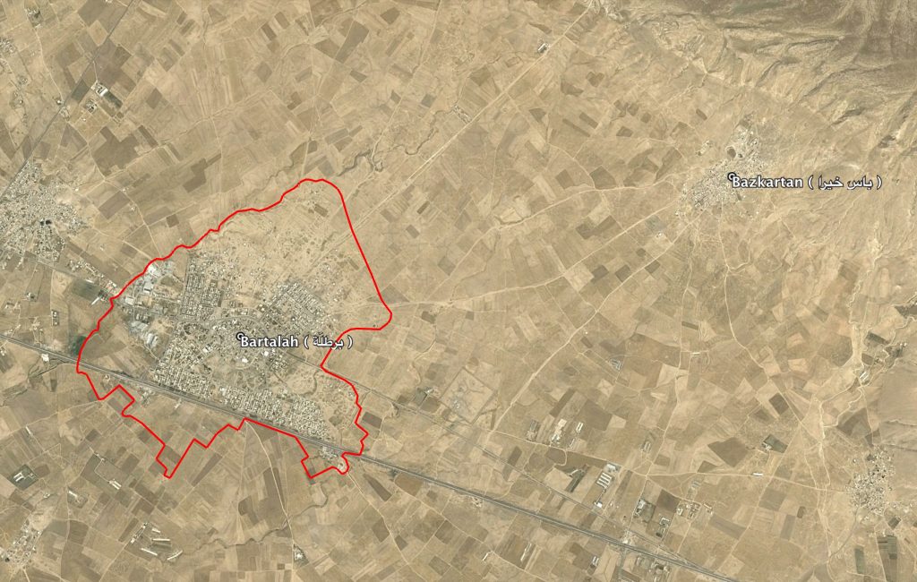
Reports of the incident mention Bartalah village (برطلّة), North of Mosul, in the Nineveh province, Iraq. The location of the midpoint of Bartalah village (برطلّة) is: 36.3534649, 43.3793879

Boundary of Bartalah village ( برطلّة ) and Bazkartan village ( باس خيرا ) visible on the top left
Imagery: © 2018 Google
