Incident Code
Incident Date
Location
Geolocation
Geolocation
Airwars Assessment
(Previous Incident Code: I647)
A single source, Yaqin, alleged the US-led Coalition conducted airstrikes in the areas of Anah and Rawah, Anbar province resulting in civilian harm.
According to the report, airstrikes and/ or artillery strikes resulted in civilians casualties and caused physical damage. The report noted that an unknown number of people were injured and civilian homes damaged.
There are no additional details available at present.
In March 2019, the Coalition accepted responsibility for this event, their report noted: “Coalition Forces struck a Daesh improved explosive device factory, using proportionate munitions, and taking other precautions to avoid or minimize civilian casualties. Regrettably, two civilians were injured due to proximity to the strike and to the ensuing secondary explosions.”
In July 2019, the Coalition provided Airwars with the location of this incident, accurate to within a 100 metre box.
Key Information
Geolocation Notes
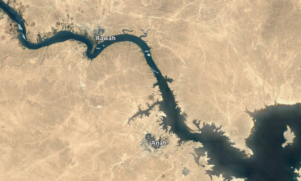
Reports of the incident mention the towns of Anah (عنه) and Rawah (رواه), for which the coordinates are: 34.369511, 41.984253 and 34.476279, 41.917648. The alleged Coalition airstrikes possibly targeted villages in the vicinity of these towns. The Coalition later released the MGRS for this incident which placed it at: 34.36984, 41.98388

The towns of Anah (عنه) and Rawah (رواه)
Imagery: © 2018 Google
