Incident Code
Incident Date
Location
Geolocation
Geolocation
Airwars Assessment
(Previous Incident Code: S53)
It was reported that one civilian male was killed in a coalition airstrike at al Shadadi. According to Thiqah he was in the area by chance when coalition aircraft struck: “One civilian was killed and others wounded yesterday (Thursday), when coalition aircraft bombed several areas of the rural southern city of Al-Hasakah.” Activists in the city confirmed the death of one man after a coalition airstrike on “Junction Al Mreijab in the 47 area of the city.”
Key Information
Geolocation Notes
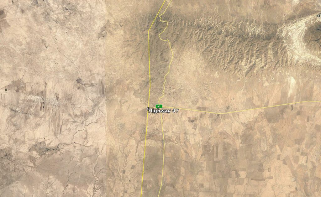
Reports of the incident mention an alleged Coalition airstrike on “Al Maryajib crossroads, in area 47”, near Al-Shadadi (الشدادي), Al Hasakah Governorate, Syria. Due to limited satellite imagery available to Airwars, we were unable to locate the Al Maryajib / Mmrayjab junction. “Area 47” is likely a reference to Highway 47: the Sinjar – Shadadi road, which begins at the Iraq – Syria border. Location of Highway 47 close to the Iraq – Syria border: 36.2752788, 41.2818146

Highway 47
Imagery: © 2018 Google
