Incident Code
Incident Date
Location
Geolocation
Geolocation
Airwars Assessment
SANA reported: “A number of civilians were injured when a convoy for US occupation forces hit a microbus on al-Shadadi road in Hasaka southern countryside.
The SANA reporter said that a convoy for US occupation forces on Wednesday [Nov 25th] afternoon hit a microbus carrying civilians near al-Milbiyah village on al-Shadadi- Hasaka road in the south of Hasaka, causing the injury of the civilians.
Local sources told SANA that reporter that a US convoy consisting of about 20 military vehicles, carriers of four-wheel drive cars, and fuel trucks crossed Hasaka city ,and headed south on al-Shadadi /Deir Ezzor road.”
No further details are currently available.
In the third of their September 2020 civilian casualty reports, the US-led Coalition assessed reports that they were responsible for civilian harm in this event as “non-credible”, stating that the allegation “refers to a vehicular accident, not a Coalition force engagement”.
Key Information
Geolocation Notes
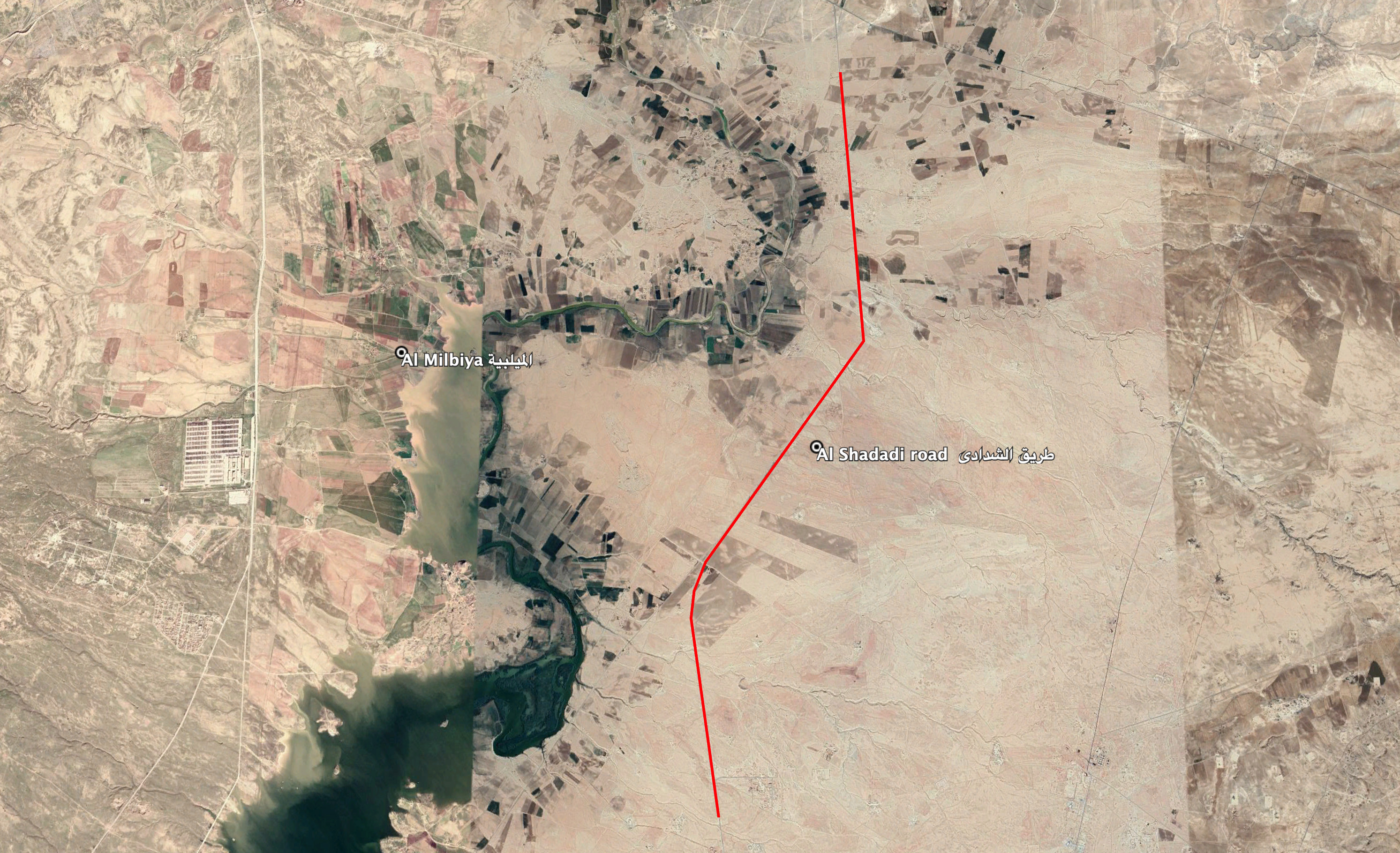
Reports of the incident mention Al Shadadi road (طريق الشدادي), near the village of Al Milbiya (الميلبية) that stretches south from Al Hasaka (الحسكة) towards the town of Al Shadadi (الشدادي). Due to limited information available to Airwars, we were unable to verify the location further. The generic coordinates for the closest point on the street to the village are: 36.393926, 40.863744

Reports of the incident mention Al Shadadi road (طريق الشدادي), near the village of Al Milbiya (الميلبية) that stretches south from Al Hasaka (الحسكة) towards the town of Al Shadadi (الشدادي).
Imagery: Google Earth
