Incident Code
Incident Date
Location
Geolocation
Geolocation
Airwars Assessment
Multiple sources reported that an unspecified number of civilians were wounded in alleged Turkish shelling of the Xerbi neighbourhood, Qamishli.
Rojnews said: “The occupied Turkish army bombed the neighborhood of Xerbî (Rojava) near the town of al-Qamishli. The occupied Turkish army bombed the neighborhood of Xerbî (Rojava) near the town of al-Qamishli. As a result, civilians were injured. No information was provided on the numbers and their status.”
Key Information
Geolocation Notes
Reports of the incident mention the neighbourhood of Rojava/Xerbî for which the generic coordinates are: 37.053978, 41.212549. Due to limited satellite imagery and information available to Airwars, we were unable to verify the location further.
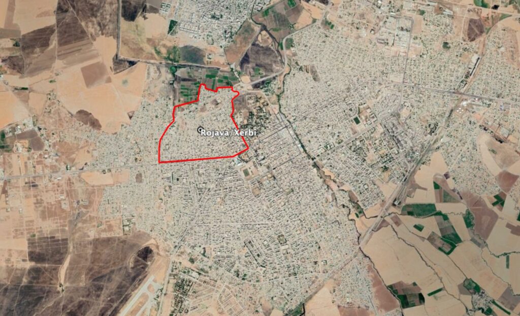
Reports of the incident mention the neighbourhood of Rojava/Xerbî.
Imagery: Google Earth