Incident Code
Incident Date
Location
Geolocation
Geolocation
Airwars Assessment
(Previous Incident Code: SOM037)
Three civilians were reportedly killed in a US drone strike in Lower Juba.
The attack began late on April 11 and continued into the small hour of April 12, Lt Col Michelle Baldanza of AFRICOM later said in a statement. The camp “posed an imminent threat to US personnel,” she said.
Somali officials allege the village was being used as a staging post for al Shabaab attacks. One unnamed “high-ranking security official” told Voice of America the al Shabaab fighters were seen making “some movements” before the drone attack started.
There were however reports of civilian casualties, with both a local Somali journalist and Voice of America’s Somali service reporting that the attacks killed eight people. Five of the dead were al Shabaab and three were civilians, according to witnesses and Somali officials. They said the strike hit the al Shabaab-controlled village of Yontyo in Lower Juba, 24km north of Kismayo.
There were reports in the week following the attack that civilians were “fleeing towards the countryside and other towns in lower Jubba region of southern Somalia for their safety, leaving behind their herds of goats dead in the airstrikes”.
In an email to the Bureau of Investigative Journalism in 2016, Lt Col Baldanza denied civilians were killed: “We have no reports of civilian casualties from these strikes. We have significant mitigation measures in place during the conduct of operations to reduce the potential risks of collateral damage and civilian casualties.”
However, a declassified AFRICOM civilian harm review for Somalia, obtained by US investigative reporter Nick Turse in July 2019, found that the US military command was both alerted to the event and had assessed for civilian harm in July 2018. This insisted that “The targeted group was in an open area. displaying weapons, and not otherwise located in a place or group that would include civilians.”
Key Information
Geolocation Notes
Reports of the incident mention that the strikes targeted the area 1.2 kilometers east of the village of Yontoy, north of Kismayo. Due to limited information and satellite imagery available to Airwars, we were unable to verify the location further. The coordinates for the area 1.2 kilometers east of the village Yontoy are: -0.117661, 42.575190.
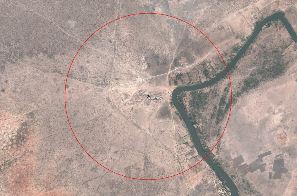
1.2 kilometers area around the village Yontoy, marked in red
Imagery: Google Earth